
Mapa topográfico Wels
Mapa interactivo
Haga clic en el mapa para ver la altitud.
Acerca de este mapa
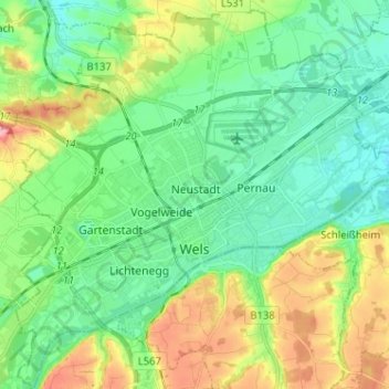
Nombre: Mapa topográfico Wels, altitud, relieve.
Lugar: Wels, Alta Austria, 4600, Austria (48.12582 13.96353 48.21131 14.09076)
Altitud media: 337 m
Altitud mínima: 298 m
Altitud máxima: 423 m