
Gracias por apoyar a este sitio ❤️
Haz una donación
Haz una donación
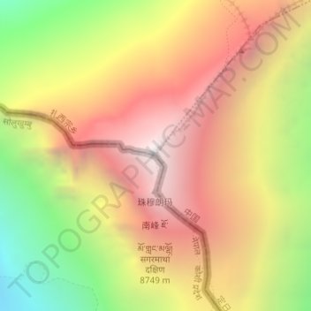
Mapa topográfico Monte Everest
Haga clic en el mapa para ver la altitud.
Gracias por apoyar a este sitio ❤️
Haz una donación
Haz una donación
Monte Everest
El monte Everest o Éverest es la montaña más alta de la superficie del planeta Tierra, con una altitud de 8848,86 metros (29 032 pies) sobre el nivel del mar. Está localizada en el continente asiático, en la cordillera del Himalaya, concretamente en la subcordillera de Mahalangur Himal; marca la frontera entre China y Nepal, considerada como la frontera más alta del mundo. El macizo incluye los picos vecinos Lhotse, 8516 metros (27 940 pies); Nuptse, 7855 m (25 771 pies) y Changtse, 7580 m (24 869 pies).
Gracias por apoyar a este sitio ❤️
Haz una donación
Haz una donación
Acerca de este mapa
Nombre: Mapa topográfico Monte Everest, altitud, relieve.
Altitud media: 7.847 m
Altitud mínima: 6.597 m
Altitud máxima: 8.849 m
Gracias por apoyar a este sitio ❤️
Haz una donación
Haz una donación