
Mapa topográfico Grandes Llanuras
Mapa interactivo
Haga clic en el mapa para ver la altitud.
Acerca de este mapa
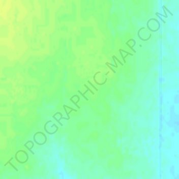
Nombre: Mapa topográfico Grandes Llanuras, altitud, relieve.
Lugar: Grandes Llanuras, Thomas County, Kansas, Estados Unidos (39.40687 -101.30210 39.42687 -101.28210)
Altitud media: 1.023 m
Altitud mínima: 1.015 m
Altitud máxima: 1.030 m