
Gracias por apoyar a este sitio ❤️
Haz una donación
Haz una donación
Mapa topográfico Monroe
Haga clic en el mapa para ver la altitud.
Gracias por apoyar a este sitio ❤️
Haz una donación
Haz una donación
Acerca de este mapa
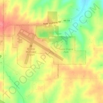
Nombre: Mapa topográfico Monroe, altitud, relieve.
Lugar: Monroe, Green County, Wisconsin, Estados Unidos de América (42.60678 -89.60242 42.62073 -89.57297)
Altitud media: 312 m
Altitud mínima: 269 m
Altitud máxima: 343 m
Gracias por apoyar a este sitio ❤️
Haz una donación
Haz una donación