
Mapa topográfico Bottineau
Mapa interactivo
Haga clic en el mapa para ver la altitud.
Acerca de este mapa
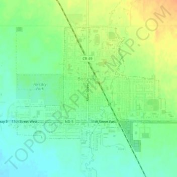
Nombre: Mapa topográfico Bottineau, altitud, relieve.
Lugar: Bottineau, Bottineau County, North Dakota, United States (48.81635 -100.46232 48.83515 -100.42655)
Altitud media: 498 m
Altitud mínima: 483 m
Altitud máxima: 517 m
According to the United States Census Bureau, the city has a total area of 1.09 square miles (2.82 km2), all of it land. The elevation is 1,637 feet (499 m) above sea level.