
Mapa topográfico Limestone
Mapa interactivo
Haga clic en el mapa para ver la altitud.
Acerca de este mapa
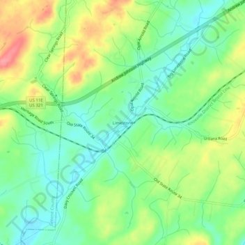
Nombre: Mapa topográfico Limestone, altitud, relieve.
Altitud media: 447 m
Altitud mínima: 413 m
Altitud máxima: 501 m
Otros mapas topográficos
Haga clic en un mapa para ver su topografía, su altitud y su relieve.
Johnson City
United States > Tennessee > Washington County
The steep mountains, rolling hills, and valleys surrounding the region are part of the Appalachian Ridge-and-Valley Province, and Johnson City is just west of the Blue Ridge Mountains. Roan Mountain, with an elevation of over 6,000 feet (1,800 m), is approximately 20 miles (32 km) to the southeast of the city.…
Altitud media: 513 m
Johnson City
United States > Tennessee > Washington County
Johnson City has a humid subtropical climate (Köppen Cfa), with warm summers and cool winters. Temperatures in Johnson City are moderated somewhat by its elevation and proximity to the Appalachian Mountains. Precipitation is abundant, with an average of 45.22 in (1,149 mm). Summer is typically the wettest…
Altitud media: 513 m