
Mapa topográfico Kingsville
Mapa interactivo
Haga clic en el mapa para ver la altitud.
Kingsville
Kingsville is located in the historic Wild Horse Desert, an area of South Texas and northern Mexico where enormous herds of wild mustangs roamed. Due to water pumping and other environmental factors, the abundance of spring-fed creeks has decreased. Wildlife surrounding Kingsville include deer, wild turkey, and javelinas. Additionally, Kingsville is a winter home to a large number of waterfowl species, including geese, ducks, and pelicans. The city is surrounded by farmland producing various crops including cotton and sorghum. The terrain around Kingsville is generally flat, with an elevation of 59 feet above sea level at city center.
Acerca de este mapa
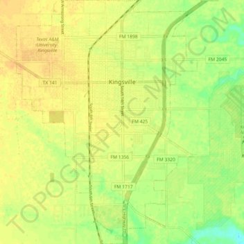
Nombre: Mapa topográfico Kingsville, altitud, relieve.
Lugar: Kingsville, Kleberg County, Texas, 78363, United States (27.46295 -97.89506 27.54248 -97.82856)
Altitud media: 19 m
Altitud mínima: 2 m
Altitud máxima: 27 m