
Mapa topográfico Eifel
Mapa interactivo
Haga clic en el mapa para ver la altitud.
Acerca de este mapa
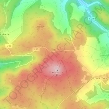
Nombre: Mapa topográfico Eifel, altitud, relieve.
Altitud media: 585 m
Altitud mínima: 428 m
Altitud máxima: 717 m
The Eifel is in the Atlantic climate zone with its relatively high precipitation; winters that are moderately cold and long with periods of snow; and summers that are often humid and cool. The prevailing wind is west/southwest. A relatively dry and milder climate prevails in the wind and rain shadow of the High Eifel. Cold air from Siberia in the higher elevations of the Eifel has less of an impact on weather conditions, as the proximity of the Atlantic Ocean to the Eifel brings milder sea air to the Eifel even in winter.