
Mapa topográfico Vosges
Mapa interactivo
Haga clic en el mapa para ver la altitud.
Acerca de este mapa
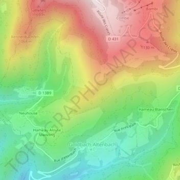
Nombre: Mapa topográfico Vosges, altitud, relieve.
Altitud media: 864 m
Altitud mínima: 537 m
Altitud máxima: 1.259 m
In addition, the term "Central Vosges" is used to designate the various lines of summits, especially those above 1,000 m (3,300 ft) in elevation. The French department of Vosges is named after the range.