
Haz una donación
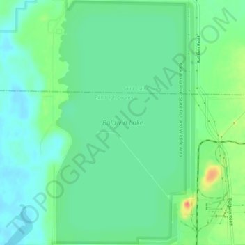
Mapa topográfico Baldwin Lake
Haga clic en el mapa para ver la altitud.
Haz una donación
Baldwin Lake
Baldwin Lake is a 2,018-acre (817 ha) reservoir which spans part of the border between Randolph County, Illinois and St. Clair County, Illinois. The lake is part of the Kaskaskia River State Fish and Wildlife Area, near 38°13′03″N 089°52′09″W / 38.21750°N 89.86917°W / 38.21750; -89.86917 Elevation: 430 feet (130 m), operated by the Illinois Department of Natural Resources, and it is adjacent to, but not part of, the Kaskaskia River. Its elevation may fluctuate with powerplant operations, but averages 423 feet (129 m) above sea level.
Haz una donación
Acerca de este mapa
Nombre: Mapa topográfico Baldwin Lake, altitud, relieve.
Lugar: Baldwin Lake, Randolph County, Illinois, United States (38.19919 -89.87896 38.23446 -89.85330)
Altitud media: 127 m
Altitud mínima: 110 m
Altitud máxima: 166 m
Haz una donación