Geolocalizar

Mapa topográfico Kerbistoret

Mapa interactivo

Haga clic en el mapa para ver la altitud.

Acerca de este mapa

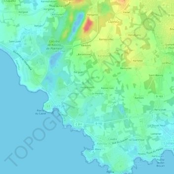
Nombre: Mapa topográfico Kerbistoret, altitud, relieve.

Lugar: Kerbistoret, Kereven, Plœmeur, Lorient, Morbihan, Bretagne, France métropolitaine, 56270, France (47.69582 -3.48134 47.73582 -3.44134)

Altitud media: 15 m

Altitud mínima: -13 m

Altitud máxima: 62 m

Otros mapas topográficos

Haga clic en un mapa para ver su topografía, su altitud y su relieve.

Kernastellec

France > Bretagne > Morbihan > Plœmeur > Kereven

Kernastellec, Kereven, Plœmeur, Lorient, Morbihan, Bretagne, France métropolitaine, 56270, France

Altitud media: 23 m