
Mapa topográfico Uson
Mapa interactivo
Haga clic en el mapa para ver la altitud.
Uson
With and elevation of 604 metres (1,982 ft) above sea level, Mount Uac is the highest point of the municipality. The mountain borders the three municipalities of Uson, Mobo and Milagros.
Acerca de este mapa
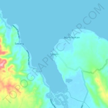
Nombre: Mapa topográfico Uson, altitud, relieve.
Lugar: Uson, Bangad, Masbate, Bicol Region, Philippines (12.18530 123.74340 12.26530 123.82340)
Altitud media: 25 m
Altitud mínima: -2 m
Altitud máxima: 205 m