
Gracias por apoyar a este sitio ❤️
Haz una donación
Haz una donación
Mapa topográfico Crystal Lake
Haga clic en el mapa para ver la altitud.
Gracias por apoyar a este sitio ❤️
Haz una donación
Haz una donación
Crystal Lake
The CDP is home to Crystal Lake, a 187-acre (76 ha) lake that straddles the border between Ellington and Stafford. Most of the lake shore is occupied by private residences, but there is a small public beach called Sandy Beach on the south side of the lake. The lake has an average depth of 20 feet (6.1 m), a maximum depth of 50 feet (15 m) and an elevation of 637 feet (194 m).
Gracias por apoyar a este sitio ❤️
Haz una donación
Haz una donación
Acerca de este mapa
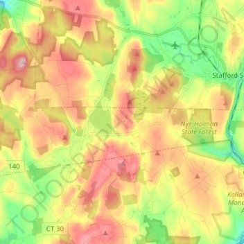
Nombre: Mapa topográfico Crystal Lake, altitud, relieve.
Altitud media: 213 m
Altitud mínima: 113 m
Altitud máxima: 315 m
Gracias por apoyar a este sitio ❤️
Haz una donación
Haz una donación