
Haz una donación
Mapa topográfico National Christmas Tree
Haga clic en el mapa para ver la altitud.
Haz una donación
Acerca de este mapa
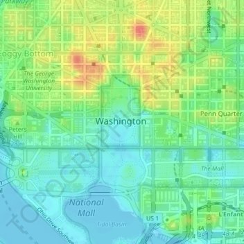
Nombre: Mapa topográfico National Christmas Tree, altitud, relieve.
Altitud media: 19 m
Altitud mínima: -3 m
Altitud máxima: 53 m
Haz una donación
Otros mapas topográficos
Haga clic en un mapa para ver su topografía, su altitud y su relieve.
Haz una donación
United States National Arboretum
United States > District of Columbia > Washington
Altitud media: 21 m
Haz una donación
Haz una donación
Haz una donación
Buzzard Point
United States > District of Columbia > Washington
The United States Geological Survey's (USGS) most recent topographic maps identify the tip of the peninsula that contains Fort McNair as "Greenleaf Point". The USGS maps also identify a lesser point to the northeast of Greenleaf Point as "Buzzard Point". (James Creek, which was excavated during the 19th…
Altitud media: 6 m
Haz una donación
Haz una donación
Haz una donación
Haz una donación
Haz una donación
Rock Creek Park and Piney Branch Parkway
United States > District of Columbia > Washington
Altitud media: 83 m
Haz una donación
United States National Arboretum
United States > District of Columbia > Washington
Altitud media: 21 m