Geolocalizar

Mapa topográfico St John's

Mapa interactivo

Haga clic en el mapa para ver la altitud.

Acerca de este mapa

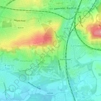
Nombre: Mapa topográfico St John's, altitud, relieve.

Lugar: St John's, Meadvale, Redhill, Reigate and Banstead, Surrey, England, RH1 6QD, United Kingdom (51.21910 -0.18721 51.23910 -0.16721)

Altitud media: 87 m

Altitud mínima: 55 m

Altitud máxima: 153 m

Otros mapas topográficos

Haga clic en un mapa para ver su topografía, su altitud y su relieve.

Redhill Common

United Kingdom > England > Surrey > Reigate and Banstead > Redhill

Redhill Common, Meadvale, Redhill, Reigate and Banstead, Surrey, England, United Kingdom

Altitud media: 92 m

Lower Earlswood Lake

United Kingdom > England > Surrey > Reigate and Banstead > Redhill

Lower Earlswood Lake, Meadvale, Redhill, Reigate and Banstead, Surrey, South East England, England, United Kingdom

Altitud media: 75 m