
Mapa topográfico Debagram
Haga clic en el mapa para ver la altitud.
Debagram
Debagram is a part of deltaic alluvial plain of west Bengal formed by river Ganga and its tributaries and distributaries. It has an average elevation of 18 meters. This flat area is characterized by some ponds and low lands. The nearest river of the village is the Bhagirathi. It is about 9 km away from the village centre. Debagram is situated in the north west of Nadia District. Bethuadahari (12 km away), Plassey (12 km), Katwa (18 km) and Tehatta (24 km) is located respectively to the South, North, East and West of Debagram.
Acerca de este mapa
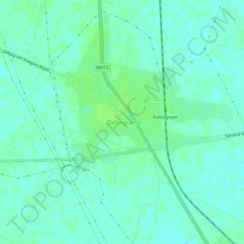
Nombre: Mapa topográfico Debagram, altitud, relieve.
Lugar: Debagram, Kaliganj, Nadia, West Bengal, 741137, India (23.66667 88.28006 23.70667 88.32006)
Altitud media: 16 m
Altitud mínima: 11 m
Altitud máxima: 21 m