
Haz una donación
Mapa topográfico Hastings
Haga clic en el mapa para ver la altitud.
Haz una donación
Acerca de este mapa
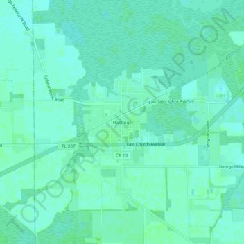
Nombre: Mapa topográfico Hastings, altitud, relieve.
Lugar: Hastings, Saint Johns County, Florida, United States (29.69802 -81.52813 29.73802 -81.48813)
Altitud media: 4 m
Altitud mínima: 1 m
Altitud máxima: 7 m
Haz una donación
Otros mapas topográficos
Haga clic en un mapa para ver su topografía, su altitud y su relieve.
Saint Augustine
United States > Florida > Saint Johns County
Saint Augustine is characterized by a diverse topography that features a mix of coastal and inland landscapes. Situated along the eastern coast of the state, the city lies on a narrow peninsula bordered by the Atlantic Ocean to the east and the Matanzas River to the west. The area includes sandy beaches that…
Altitud media: 5 m
Haz una donación
Haz una donación
Haz una donación
Haz una donación
Haz una donación
DeLeon Shores Park
United States > Florida > Saint Johns County > Ponte Vedra Beach > Palm Valley
Altitud media: 4 m
Haz una donación
Haz una donación
Haz una donación