
Mapa topográfico Lake Blue Ridge
Haga clic en el mapa para ver la altitud.
Lake Blue Ridge
As part of the Blue Ridge Dam Rehabilitation project, the Tennessee Valley Authority, began slowly lowering the elevation of Blue Ridge Lake in July 2010. This rehabilitation project aimed to repair the dam penstock and to stabilize both the upstream and downstream faces of the dam. The project reduced the water level in the lake to approximately 1630 feet above sea level around the middle of October 2010 and the portion of work requiring the drawdown was completed in April 2011 when refilling of the lake began. However, TVA decided to hold the lake level at 1,672 feet through the summer of 2012 due to unexpected ground movement experienced in March 2012.
Acerca de este mapa
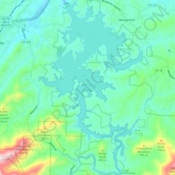
Nombre: Mapa topográfico Lake Blue Ridge, altitud, relieve.
Altitud media: 572 m
Altitud mínima: 467 m
Altitud máxima: 980 m