
Mapa topográfico Sabalan
Mapa interactivo
Haga clic en el mapa para ver la altitud.
Acerca de este mapa
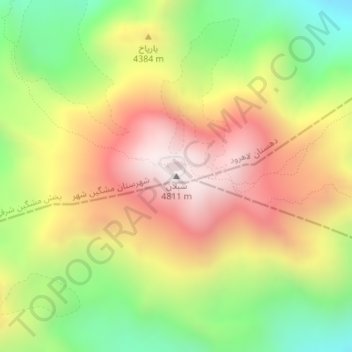
Nombre: Mapa topográfico Sabalan, altitud, relieve.
Altitud media: 4.281 m
Altitud mínima: 3.756 m
Altitud máxima: 4.802 m
At 4,794 metres (15,728 ft) in elevation, it is the third-highest mountain in Iran. It has a permanent crater lake formed at its summit. On one of its slopes around 3,600 metres (11,800 ft) in elevation there are large rock formations of eroded volcanic outcrops that resemble animals, birds, and insects.