
Gracias por apoyar a este sitio ❤️
Haz una donación
Haz una donación
Mapa topográfico Madenburg
Haga clic en el mapa para ver la altitud.
Gracias por apoyar a este sitio ❤️
Haz una donación
Haz una donación
Madenburg
Die Madenburg wurde als Höhenburg am Ostrand des Pfälzerwalds auf einem in die Rheinebene vorspringenden Felsausläufer des 476,3 m hohen Rothenbergs erbaut. Die von Wald umgebene Ruine liegt etwa 250 m oberhalb von Eschbach auf einer Höhe von 458,5 m ü. NHN.
Gracias por apoyar a este sitio ❤️
Haz una donación
Haz una donación
Acerca de este mapa
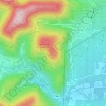
Nombre: Mapa topográfico Madenburg, altitud, relieve.
Altitud media: 290 m
Altitud mínima: 177 m
Altitud máxima: 519 m
Gracias por apoyar a este sitio ❤️
Haz una donación
Haz una donación