
Mapa topográfico Oussudu WLS
Haga clic en el mapa para ver la altitud.
Acerca de este mapa
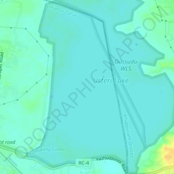
Nombre: Mapa topográfico Oussudu WLS, altitud, relieve.
Lugar: Oussudu WLS, Koodapakkam, Villianur Taluk, Puducherry, India (11.93881 79.73143 11.96852 79.75228)
Altitud media: 13 m
Altitud mínima: 8 m
Altitud máxima: 35 m