
Mapa topográfico Wijk bij Duurstede
Mapa interactivo
Haga clic en el mapa para ver la altitud.
Wijk bij Duurstede
Dutch Topographic map of the municipality of Wijk bij Duurstede, 2013.
Acerca de este mapa
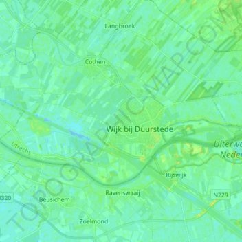
Nombre: Mapa topográfico Wijk bij Duurstede, altitud, relieve.
Lugar: Wijk bij Duurstede, Utrecht, Netherlands (51.95492 5.25627 52.00008 5.39495)
Altitud media: 5 m
Altitud mínima: -4 m
Altitud máxima: 15 m