
Mapa topográfico Kothagudem
Haga clic en el mapa para ver la altitud.
Kothagudem
Kothagudem is located at 17°33′00″N 80°37′05″E / 17.55°N 80.618°E / 17.55; 80.618. It has an average elevation of 89 metres (295 ft) above sea level. The North of Kothagudem borders Chhattisgarh state which is approximately 120 km from the town.
Acerca de este mapa
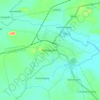
Nombre: Mapa topográfico Kothagudem, altitud, relieve.
Altitud media: 109 m
Altitud mínima: 81 m
Altitud máxima: 230 m