
Haz una donación
Mapa topográfico Everglade
Haga clic en el mapa para ver la altitud.
Haz una donación
Acerca de este mapa
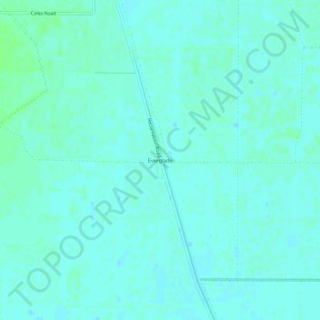
Nombre: Mapa topográfico Everglade, altitud, relieve.
Lugar: Everglade, Sutter County, California, United States (38.96239 -121.78747 39.00239 -121.74747)
Altitud media: 9 m
Altitud mínima: 6 m
Altitud máxima: 13 m
Haz una donación
Otros mapas topográficos
Haga clic en un mapa para ver su topografía, su altitud y su relieve.
Yuba City
United States > California > Sutter County
On March 14, 1961, a Boeing B-52 Stratofortress carrying nuclear weapons, flying near Yuba City, encountered a pressurization problem, and had to drop to a lower altitude. Because of this, more fuel than expected was used, and the aircraft ran out of fuel. It crashed before meeting with a tanker aircraft. The…
Altitud media: 18 m
Haz una donación