
Mapa topográfico Shell Lake
Mapa interactivo
Haga clic en el mapa para ver la altitud.
Acerca de este mapa
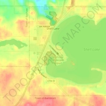
Nombre: Mapa topográfico Shell Lake, altitud, relieve.
Lugar: Shell Lake, Washburn County, Wisconsin, USA (45.70904 -91.93947 45.75362 -91.86714)
Altitud media: 377 m
Altitud mínima: 338 m
Altitud máxima: 409 m