
Mapa topográfico Prince George
Mapa interactivo
Haga clic en el mapa para ver la altitud.
Prince George
Prince George is a census-designated place (CDP) in and the county seat of Prince George County, Virginia, United States. The population as of the 2010 Census was 2,066. It is in the metro area of Richmond, Virginia. The elevation is at 131 feet.
Acerca de este mapa
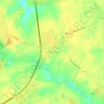
Nombre: Mapa topográfico Prince George, altitud, relieve.
Altitud media: 39 m
Altitud mínima: 21 m
Altitud máxima: 48 m