
Mapa topográfico Allegheny Portage Railroad National Historic Site
Mapa interactivo
Haga clic en el mapa para ver la altitud.
Acerca de este mapa
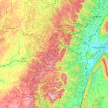
Nombre: Mapa topográfico Allegheny Portage Railroad National Historic Site, altitud, relieve.
Altitud media: 570 m
Altitud mínima: 280 m
Altitud máxima: 957 m
A skew arch bridge, a masterwork of cut stone construction, is another feature of the site near the Lemon House. The bridge is 60.4 feet (18.4 m) long on the south elevation, 54.9 feet (16.7 m) long on the north elevation, and 22.2 feet (6.8 m) high. It was the only bridge on the line that was built to carry a road.