

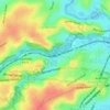
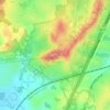
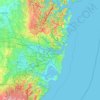
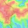
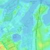
Mapa topográfico Edmondson Park
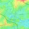
Haga clic en el mapa para ver la altitud.
Acerca de este mapa

Nombre: Mapa topográfico Edmondson Park, altitud, relieve.
Lugar: Edmondson Park, Sydney, New South Wales, 2174, Australia (-33.97815 150.83624 -33.94997 150.87665)
Altitud media: 56 m
Altitud mínima: 29 m
Altitud máxima: 94 m
Otros mapas topográficos
Haga clic en un mapa para ver su topografía, su altitud y su relieve.

















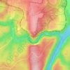
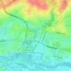


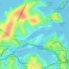
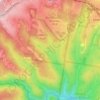






Bents Basin State Conservation Area
Australia > New South Wales > Sydney
The park is popular for swimming, kayaking, bushwalking, camping (with 100 tent sites), barbecuing, picnicking and fishing. The park also features walking trails within a bushland and an education centre with a commercial kitchen. Caley's Lookout Track, a walking track within the bushland, leads to Little…
Altitud media: 82 m


