
Mapa topográfico PIO Ovčar-Kablar Gorge
Mapa interactivo
Haga clic en el mapa para ver la altitud.
PIO Ovčar-Kablar Gorge
The spa of Ovčar Banja is located in the gorge, at an altitude of 278 meters. It has a hot, sulfuric water (37,5 Celsius), which is helpful for the treatment of rheumatism, nerve and skin diseases.
Acerca de este mapa
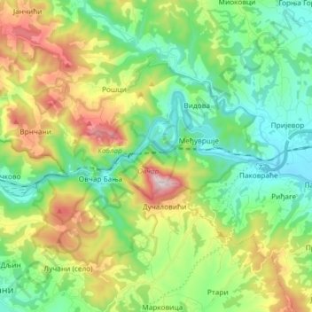
Nombre: Mapa topográfico PIO Ovčar-Kablar Gorge, altitud, relieve.
Altitud media: 477 m
Altitud mínima: 241 m
Altitud máxima: 968 m