
Mapa topográfico Goor
Mapa interactivo
Haga clic en el mapa para ver la altitud.
Acerca de este mapa
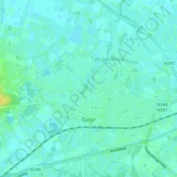
Nombre: Mapa topográfico Goor, altitud, relieve.
Lugar: Goor, Hof van Twente, Overijssel, Pays-Bas (52.22229 6.55594 52.25625 6.62245)
Altitud media: 13 m
Altitud mínima: 9 m
Altitud máxima: 29 m
Otros mapas topográficos
Haga clic en un mapa para ver su topografía, su altitud y su relieve.
Sallandse Heuvelrug
Pays-Bas > Overijssel > Rijssen-Holten
Sallandse Heuvelrug, Plaggenweg, Holten, Rijssen-Holten, Overijssel, Pays-Bas, 7451RP, Pays-Bas
Altitud media: 35 m
Steenwijkerland
Pays-Bas > Overijssel > Steenwijkerland
Steenwijkerland, Overijssel, Pays-Bas
Altitud media: 1 m