
Gracias por apoyar a este sitio ❤️
Haz una donación
Haz una donación
Mapa topográfico Montara
Haga clic en el mapa para ver la altitud.
Gracias por apoyar a este sitio ❤️
Haz una donación
Haz una donación
Montara
The rare and endangered species Hickman's potentilla occurs at the northern extremity of Montara on the slopes above Martini Creek at elevations ranging from 32 to 410 ft (9.8 to 125.0 m).
Gracias por apoyar a este sitio ❤️
Haz una donación
Haz una donación
Acerca de este mapa
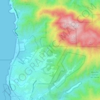
Nombre: Mapa topográfico Montara, altitud, relieve.
Altitud media: 66 m
Altitud mínima: 0 m
Altitud máxima: 505 m
Gracias por apoyar a este sitio ❤️
Haz una donación
Haz una donación