
Mapa topográfico Calusa Land Trust and Nature Preserve of Pine Island
Mapa interactivo
Haga clic en el mapa para ver la altitud.
Acerca de este mapa
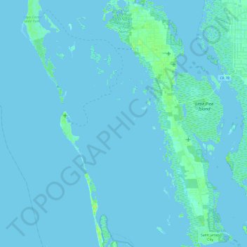
Nombre: Mapa topográfico Calusa Land Trust and Nature Preserve of Pine Island, altitud, relieve.
Altitud media: 1 m
Altitud mínima: -2 m
Altitud máxima: 9 m
Otros mapas topográficos
Haga clic en un mapa para ver su topografía, su altitud y su relieve.
Cape Coral
United States > Florida > Lee County > Cape Coral
Cape Coral, Lee County, Florida, 33914-4648, United States
Altitud media: 3 m
Coral Lakes
United States > Florida > Lee County > Cape Coral
Coral Lakes, Cape Coral, Lee County, Florida, 33909, United States
Altitud media: 6 m
McDonough Canal
United States > Florida > Lee County > Cape Coral
McDonough Canal, Cape Coral, Lee County, Florida, 33991, United States
Altitud media: 3 m
Sacremento Canal
United States > Florida > Lee County > Cape Coral
Sacremento Canal, Cape Coral, Lee County, Florida, 33904, United States
Altitud media: 4 m