
Mapa topográfico Mount Magazine State Park
Mapa interactivo
Haga clic en el mapa para ver la altitud.
Acerca de este mapa
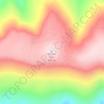
Nombre: Mapa topográfico Mount Magazine State Park, altitud, relieve.
Altitud media: 667 m
Altitud mínima: 373 m
Altitud máxima: 839 m
There also exist many opportunities for ATV riding, backpacking, hang gliding, mountain biking, rappelling, and rock climbing within the park. The park hosts the annual Mount Magazine International Butterfly Festival, and is a haven for many rare species of butterflies in Arkansas due to the special blend of altitude and temperature available. The state butterfly, the Diana fritillary, is found almost exclusively in the Arkansas River Valley and the Petit Jean River Valley.
Otros mapas topográficos
Haga clic en un mapa para ver su topografía, su altitud y su relieve.
Booneville
United States > Arkansas > Logan County
Booneville, Logan County, Arkansas, 72927, United States
Altitud media: 153 m
Saint Scholastica
United States > Arkansas > Logan County
Saint Scholastica, Logan County, Arkansas, 72851, United States
Altitud media: 142 m
Driggs
United States > Arkansas > Logan County
Driggs, Logan County, Arkansas, United States
Altitud media: 227 m
Paris
United States > Arkansas > Logan County
Paris, Logan County, Arkansas, 72855, United States
Altitud media: 165 m