
Mapa topográfico Rutherglen
Mapa interactivo
Haga clic en el mapa para ver la altitud.
Rutherglen
Rutherglen features a mediterranean climate (Csa) with hot, dry summers and cool, damp winters. Climate data is sourced from Rutherglen Research; established in 1912 and still operating today. It is at an elevation of 175 metres (574 ft).
Acerca de este mapa
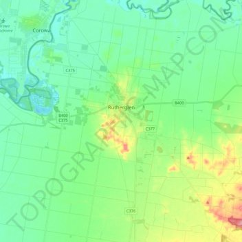
Nombre: Mapa topográfico Rutherglen, altitud, relieve.
Lugar: Rutherglen, Shire of Indigo, Victoria, 3685, Australia (-36.12160 146.37861 -36.00625 146.58975)
Altitud media: 158 m
Altitud mínima: 126 m
Altitud máxima: 248 m