
Mapa topográfico Bowscale Fell
Haga clic en el mapa para ver la altitud.
Bowscale Fell
Being on the Derwent - Eden watershed, Bowscale Fell has further topographical significance by providing the link between the Northern and Eastern Fells. The eastern ridge continues almost imperceptibly beneath Raven Crag, crossing the road before rising again to form Little Eycott and Eycott Hills. From here the watershed runs south across Great Mell Fell and ultimately climbs onto Great Dodd in the Helvellyn range.
Acerca de este mapa
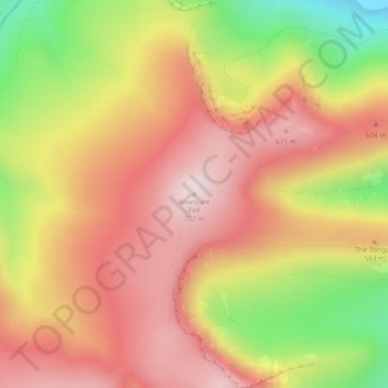
Nombre: Mapa topográfico Bowscale Fell, altitud, relieve.
Altitud media: 511 m
Altitud mínima: 231 m
Altitud máxima: 701 m
Otros mapas topográficos
Haga clic en un mapa para ver su topografía, su altitud y su relieve.