
Mapa topográfico 九连山镇
Mapa interactivo
Haga clic en el mapa para ver la altitud.
Acerca de este mapa
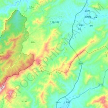
Nombre: Mapa topográfico 九连山镇, altitud, relieve.
Lugar: 九连山镇, 龙南市, 赣州市, 江西省, 中国 (24.48885 114.38199 24.65599 114.58782)
Altitud media: 565 m
Altitud mínima: 290 m
Altitud máxima: 1.296 m
Otros mapas topográficos
Haga clic en un mapa para ver su topografía, su altitud y su relieve.