
Mapa topográfico Judith Gap
Mapa interactivo
Haga clic en el mapa para ver la altitud.
Judith Gap
Because of its topography and prevailing winds, Judith Gap is the site of one of the most ambitious wind power projects in the United States. The 90 wind turbines at the Judith Gap Wind Farm have a nameplate capacity of 135 MW.
Acerca de este mapa
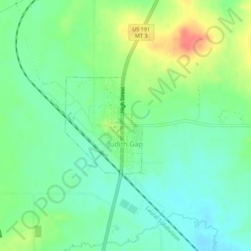
Nombre: Mapa topográfico Judith Gap, altitud, relieve.
Altitud media: 1.406 m
Altitud mínima: 1.386 m
Altitud máxima: 1.442 m