
Mapa topográfico Sanjay Gandhi (Borivilli) National Park
Mapa interactivo
Haga clic en el mapa para ver la altitud.
Acerca de este mapa
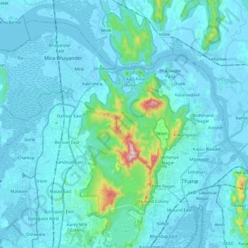
Nombre: Mapa topográfico Sanjay Gandhi (Borivilli) National Park, altitud, relieve.
Altitud media: 42 m
Altitud mínima: -4 m
Altitud máxima: 479 m
The region is hilly with elevations between 30 and 480 m (98 and 1,575 ft). The park has two lakes, Vihar Lake and Tulsi Lake, which meet a part of the city's water requirements. The park is said to be the lungs of the city as it purifies much of the air pollution of the city.
Otros mapas topográficos
Haga clic en un mapa para ver su topografía, su altitud y su relieve.
Dahisar River
India > Maharashtra > Thane > Mumbai
Dahisar River, Zone 4, Mumbai, Mumbai Metropolitan Region, Thane, Mumbai Suburban, Maharashtra, 400068, India
Altitud media: 83 m