
Mapa topográfico Campo de Criptana
Mapa interactivo
Haga clic en el mapa para ver la altitud.
Acerca de este mapa
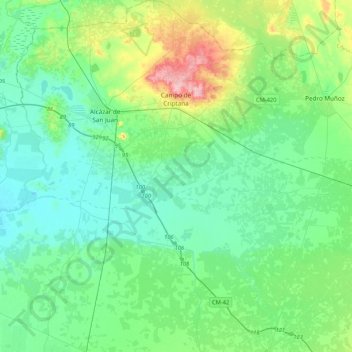
Nombre: Mapa topográfico Campo de Criptana, altitud, relieve.
Altitud media: 658 m
Altitud mínima: 625 m
Altitud máxima: 775 m
The 13th century beginnings of the urban center were situated around a fortified position in the Cerro de La Paz, which served as a defensive outpost of the Castillo de Criptana. The topographical features of the area determined the formation of the city and its subsequent expansion into the plain to the south.