
Mapa topográfico 何园村
Mapa interactivo
Haga clic en el mapa para ver la altitud.
Acerca de este mapa
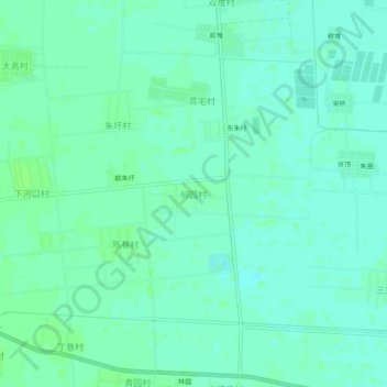
Nombre: Mapa topográfico 何园村, altitud, relieve.
Lugar: 何园村, 连云港市, 江苏省, 中国 (34.71462 118.98630 34.75462 119.02630)
Altitud media: 6 m
Altitud mínima: 2 m
Altitud máxima: 11 m
Otros mapas topográficos
Haga clic en un mapa para ver su topografía, su altitud y su relieve.