
Mapa topográfico IJhorst
Mapa interactivo
Haga clic en el mapa para ver la altitud.
Acerca de este mapa
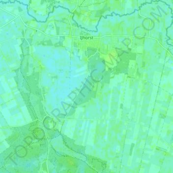
Nombre: Mapa topográfico IJhorst, altitud, relieve.
Lugar: IJhorst, Staphorst, Overijssel, Niederlande (52.62498 6.26147 52.67051 6.32931)
Altitud media: 4 m
Altitud mínima: 0 m
Altitud máxima: 7 m
Otros mapas topográficos
Haga clic en un mapa para ver su topografía, su altitud y su relieve.
Staphorst
Niederlande > Overijssel > Staphorst > Staphorst
Staphorst, Overijssel, Niederlande
Altitud media: 2 m