Mapa topográfico Talwood
Haga clic en el mapa para ver la altitud.
Acerca de este mapa

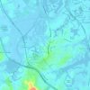
Nombre: Mapa topográfico Talwood, altitud, relieve.
Lugar: Talwood, Goondiwindi Regional, Queensland, Australia (-28.50551 149.44965 -28.46551 149.48965)
Altitud media: 187 m
Altitud mínima: 181 m
Altitud máxima: 196 m
Otros mapas topográficos
Haga clic en un mapa para ver su topografía, su altitud y su relieve.

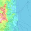
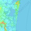
Sunshine Coast Regional
The Sunshine Coast Regional area in Queensland, Australia, features a diverse topography that ranges from coastal plains to rugged hinterlands. Along the coastline, the terrain is predominantly flat, with average elevations around 20 meters (66 feet) above sea level. Inland, the landscape transitions to…
Altitud media: 56 m


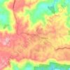

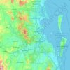

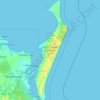
Highfields
Along with Meringandan, the climate is oceanic (Köppen: Cfb) due to elevation, usually located further south of Australia.
Altitud media: 589 m

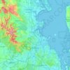
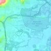
City of Brisbane
Brisbane's topography is characterized by a series of hills and ranges that define its landscape. The city is situated on a low-lying floodplain, with the Brisbane River meandering through its heart, creating a winding course with many steep curves from the southwest to its mouth at Moreton Bay in the east.…
Altitud media: 71 m





Mount Coot-tha
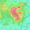
Australia > Queensland > City of Brisbane
It is often claimed that Mount Coot-tha is the "highest point in Brisbane", but, as the elevations above show, the peak known as Mount Coot-tha is not even the highest peak of the mountain as a whole with both Constitution Hill and The Summit being higher. However, Mount Coot-tha has a lookout with unobscured…
Altitud media: 88 m


Edmonton
The average elevation of Edmonton, Cairns is 16.8 metres (55.1 feet) above sea level.
Altitud media: 96 m