
Mapa topográfico Apollo Beach
Haga clic en el mapa para ver la altitud.
Apollo Beach
The history of Apollo Beach started in 1923 on land owned by the Dickman family, then used annually for farming and grazing pasture. Much of the land was mangrove and low-elevation and was considered uninhabitable.
Acerca de este mapa
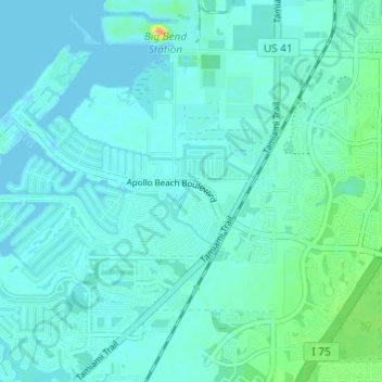
Nombre: Mapa topográfico Apollo Beach, altitud, relieve.
Altitud media: 6 m
Altitud mínima: -3 m
Altitud máxima: 35 m
Otros mapas topográficos
Haga clic en un mapa para ver su topografía, su altitud y su relieve.