
Mapa topográfico Una
Haga clic en el mapa para ver la altitud.
Una
Una is located on the bank of the Machchundri river. It has an average elevation of 14 metres (46 feet). Kodinar is located to the west, and Diu is to the south. Una has the highest number of villages of all the Talukas in Gujarat state.
Acerca de este mapa
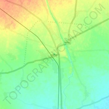
Nombre: Mapa topográfico Una, altitud, relieve.
Lugar: Una, Una Taluka, Gir Somnath, Gujarat, 362560, India (20.77989 70.99916 20.85989 71.07916)
Altitud media: 25 m
Altitud mínima: 8 m
Altitud máxima: 48 m