
Mapa topográfico Lake Carnegie
Mapa interactivo
Haga clic en el mapa para ver la altitud.
Acerca de este mapa
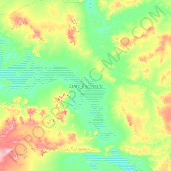
Nombre: Mapa topográfico Lake Carnegie, altitud, relieve.
Altitud media: 466 m
Altitud mínima: 435 m
Altitud máxima: 566 m
The lake is approximately 100 kilometres (62 mi) in length and approximately 30 kilometres (19 mi) at its widest part. It has a total area of approximately 5,714 square kilometres (2,206 sq mi), making it one of the largest lakes in Australia. The surface elevation is 439 m (1,440 ft) above mean sea-level.