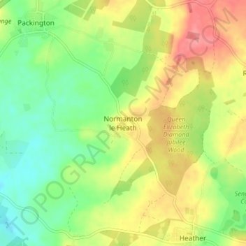
Mapa topográfico Normanton le Heath
Mapa interactivo
Haga clic en el mapa para ver la altitud.
Acerca de este mapa
Nombre: Mapa topográfico Normanton le Heath, altitud, relieve.
Altitud media: 123 m
Altitud mínima: 88 m
Altitud máxima: 164 m

Haga clic en el mapa para ver la altitud.
Nombre: Mapa topográfico Normanton le Heath, altitud, relieve.
Altitud media: 123 m
Altitud mínima: 88 m
Altitud máxima: 164 m