
Mapa topográfico Tongue River
Mapa interactivo
Haga clic en el mapa para ver la altitud.
Acerca de este mapa
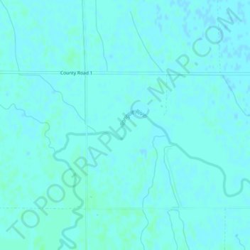
Nombre: Mapa topográfico Tongue River, altitud, relieve.
Altitud media: 245 m
Altitud mínima: 243 m
Altitud máxima: 248 m
Otros mapas topográficos
Haga clic en un mapa para ver su topografía, su altitud y su relieve.
Forman
United States of America > North Dakota > Forman
Forman, Sargent County, North Dakota, 58032, United States of America
Altitud media: 383 m
Parshall
United States of America > North Dakota > Parshall
Parshall, Mountrail County, North Dakota, United States of America
Altitud media: 598 m
Square Butte
United States of America > North Dakota
Square Butte, Golden Valley County, North Dakota, United States of America
Altitud media: 884 m
Pillsbury
United States of America > North Dakota > Pillsbury > Pillsbury
Pillsbury, Barnes County, North Dakota, United States of America
Altitud media: 388 m