
Gracias por apoyar a este sitio ❤️
Haz una donación
Haz una donación
Mapa topográfico Sandwich Bay
Haga clic en el mapa para ver la altitud.
Gracias por apoyar a este sitio ❤️
Haz una donación
Haz una donación
Acerca de este mapa
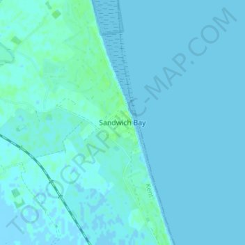
Nombre: Mapa topográfico Sandwich Bay, altitud, relieve.
Lugar: Sandwich Bay, Dover, Kent, England, CT13 9PZ, United Kingdom (51.24779 1.36537 51.28779 1.40537)
Altitud media: 1 m
Altitud mínima: -3 m
Altitud máxima: 8 m
Gracias por apoyar a este sitio ❤️
Haz una donación
Haz una donación
Otros mapas topográficos
Haga clic en un mapa para ver su topografía, su altitud y su relieve.
White Cliffs of Dover
United Kingdom > England > Kent > Dover > St. Margaret's at Cliffe
Altitud media: 49 m