Mapa topográfico Keller
Mapa interactivo
Haga clic en el mapa para ver la altitud.
Acerca de este mapa
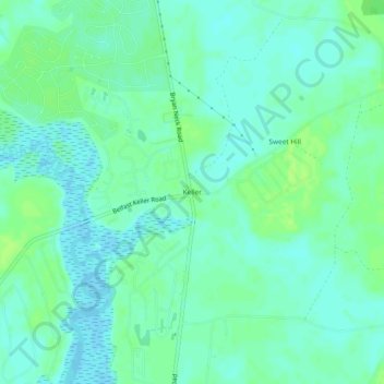
Nombre: Mapa topográfico Keller, altitud, relieve.
Lugar: Keller, Bryan County, Georgia, United States (31.82327 -81.27372 31.86327 -81.23372)
Altitud media: 5 m
Altitud mínima: -2 m
Altitud máxima: 12 m
Otros mapas topográficos
Haga clic en un mapa para ver su topografía, su altitud y su relieve.
Richmond Hill
United States > Georgia > Bryan County
Richmond Hill, Bryan County, Georgia, United States
Altitud media: 5 m
Belle Isle
United States > Georgia > Bryan County
Belle Isle, Bryan County, Georgia, United States
Altitud media: 4 m
Pembroke
United States > Georgia > Bryan County > Pembroke
Pembroke, Bryan County, Georgia, United States
Altitud media: 26 m
Blitchton
United States > Georgia > Bryan County > Blitchton
Blitchton, Bryan County, Georgia, 31308, United States
Altitud media: 21 m
Ellabell
United States > Georgia > Bryan County > Ellabell
Ellabell, Bryan County, Georgia, United States
Altitud media: 21 m