
Gracias por apoyar a este sitio ❤️
Haz una donación
Haz una donación
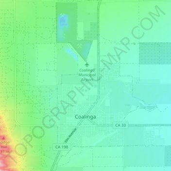
Mapa topográfico Coalinga
Haga clic en el mapa para ver la altitud.
Gracias por apoyar a este sitio ❤️
Haz una donación
Haz una donación
Coalinga
Coalinga is located 52 miles (84 km) southwest of Fresno, at an elevation of 673 feet (205 m). The topography is generally level, suitable for a number of field crops which do not require large amounts of water. It is located near the eastern foothills of the Diablo Range.
Gracias por apoyar a este sitio ❤️
Haz una donación
Haz una donación
Acerca de este mapa
Nombre: Mapa topográfico Coalinga, altitud, relieve.
Lugar: Coalinga, Fresno County, California, United States (36.12052 -120.37562 36.18044 -120.32175)
Altitud media: 216 m
Altitud mínima: 180 m
Altitud máxima: 347 m
Gracias por apoyar a este sitio ❤️
Haz una donación
Haz una donación